Innovative command and control work, along with successful integration of various sensor technologies, has helped INL build a nationally recognized Unmanned Aerial Vehicle (UAV) Program, which is now home to the Department of Energy's Unmanned Aerial Systems (UAS) Center of Excellence.
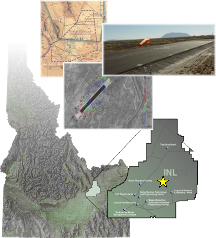
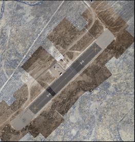
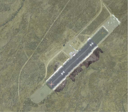
INL has conducted UAS research for more than a decade and, during this time, INL has been able to apply $4M to training personnel, constructing an UAS airfield, procuring a significant inventory of fixed and rotary wing aircraft, and establishing support facilities. INL also maintains a 1,000-ft, paved UAS runway, over which the Fedaral Aviation Administration, through certificates of authorization, has approved the airspace for flights of ten different UAS platforms.
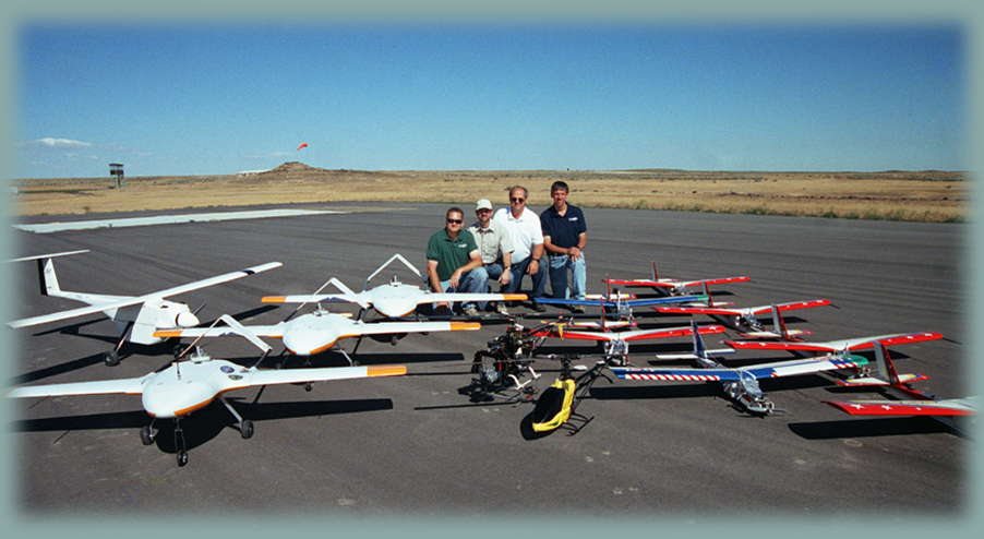
 INL supports over 40 UAS platforms via mobile control stations that provide power, communication, monitoring, and data acquisition capabilities. The platforms range in size from less than 1 pound to approximately 55 pounds and some of the platforms are powered by small reciprocating engines, while others employ electric motors. For most UAVs, commercial autopilots enable full autonomous operation, from takeoff to landing.
 A number of sensors have been integrated into the airframes to allow information collection and transmission. Sensors that have been developed, tested, and deployed include the following: Standard and high-definition video
Infrared imagers
Near-infrared imagers
Air sampling (collection) devices
High-resolution still imager (20 megapixel)
Multispectral imager
Wireless network capability to provide real-time collection and transmission of large data files.
 Fundamental control, operation, and sensor integration of the UAS represent a primary focus for research projects that are conducted at the test range. Research efforts include the following:
 Collaborating with the Defense Advanced Research Projects Agency, INL's UAV flight team simultaneously deployed a fleet of small autonomous planes from common ground stations as a proof-of-concept for fielding multi-agent UAVs to broaden missions in ad-hoc self-healing mobile network communications. The flights demonstrated that UAVs could replace manned aircraft in situations not suited for a pilot. Additional testing was performed to explore UAV range, payloads, communications, mission operations, and integration of intelligent features.
Site security monitoring of the INL facilities.
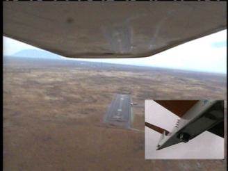
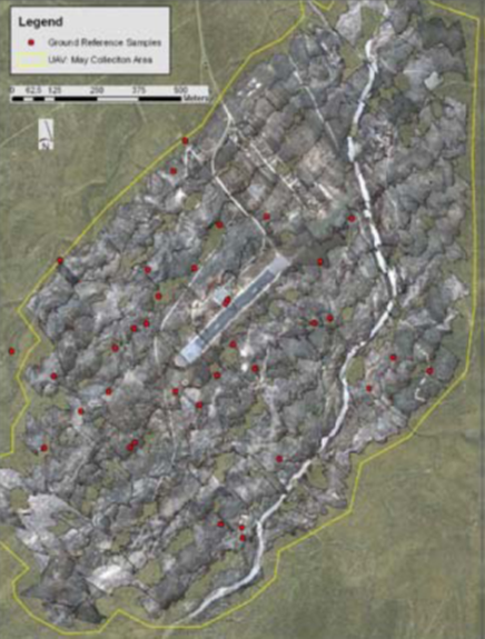
Development of a small UAV-based system for rapid, accurate, and safe collection of ultra high-resolution geographically referenced aerial imagery. Utilizing a 16-megapixel camera, ultra high-resolution images are captured and, in near real-time, wirelessly streamed to a ground-based operating interface, where each image is automatically mosaiced into a single geo-referenced map.
Research Contact: Derek Wadsworth - Phone: (208) 526-8514 - Derek.Wadsworth@inl.gov
|